Connect


Contact(s)
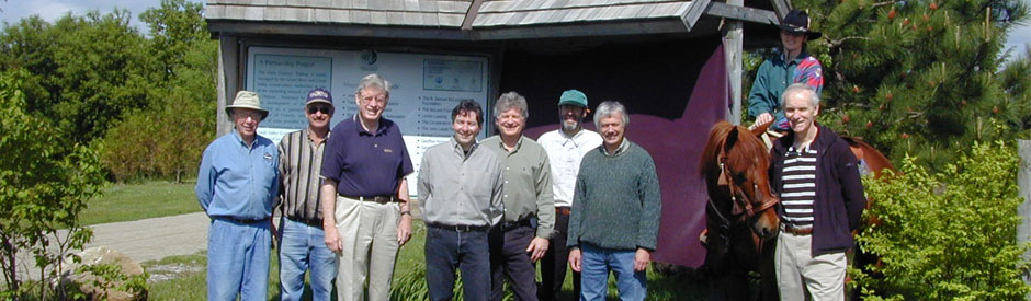
The 47 kilometre Elora Cataract Trailway links the Grand and Credit watersheds and follows the old Canadian Pacific railroad bed.
- It runs through rolling countryside east of Elora, through the historic community of Fergus and past Belwood Lake to the Forks of Credit Provincial Park at Cataract.
- The GRCA and the Credit Valley Conservation Authority own the trail. It is managed in conjunction with the Elora Cataract Trailway Association.
| Trail Access |
|
| Permitted Uses |
|
| Trail Links |
|