Connect


Contact(s)
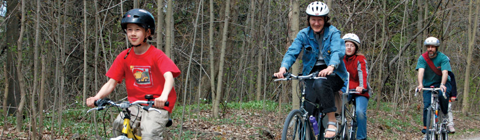
The 18 kilometre trail follows the Grand River through lush Carolinian forest with spectacular river overlooks.
- The trail is level, finished with fine gravel and provides an easy path for cyclists and hikes.
- The trail follows the old roadbed of the Lake Erie and Northern Railway (LE&N).
- The brochure, Explore the Hamilton-Brantford-Cambridge Trails (2MB PDF), includes a map and descriptions of scenic highlights and services along the trail.
| Trail Access |
|
| Permitted Uses |
|
| Trail Links |
|